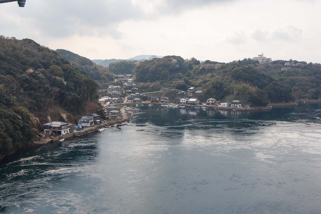
Up Ron & Marjolijn's holiday pictures » 2016-04 Japan » 05-Nagasaki Prev Next Slideshow

 Previous image  Next image  Index page  Original Image [02-Harioseto Strait.jpg - 242kB]


01-Harioseto Strait
  02-Harioseto Strait.jpg  
03-Bridge over Harioseto Strait
04-Nagasaki Atomic Bomb Muserum, model of destroyed Urakami Cathedral
05-Nagasaki Atomic Bomb Muserum, model of atomic bomb
06-Nagasaki National Peace Memorial Hall for the Atomic Bomb Victems
07-Thousends of origami cranes, symbol of peace
08-In the Nagasaki Peace Park
09-Peace Fountain in Nagasaki Peace Park
10-Exact location of the Atomic Bomb explosion
11-Time of the Atomic Bomb explosion
12-Origami Peace Cranes
13-Rebuild Urikami Cathedral
14-Map of damage caused by atomic bomb

02-Harioseto Strait Download Original Image
Latitude: N 33°3'17,63" | Longitude: E 129°45'19,74" | Altitude: 72 metres Unknown (1) | Location: Sakihario | City: Inouragou | State/Province: Nagasakiken | Country: Japan | Copyright: Ron Harkink | See map
Total images: 23 | Help